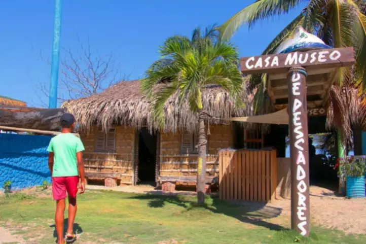
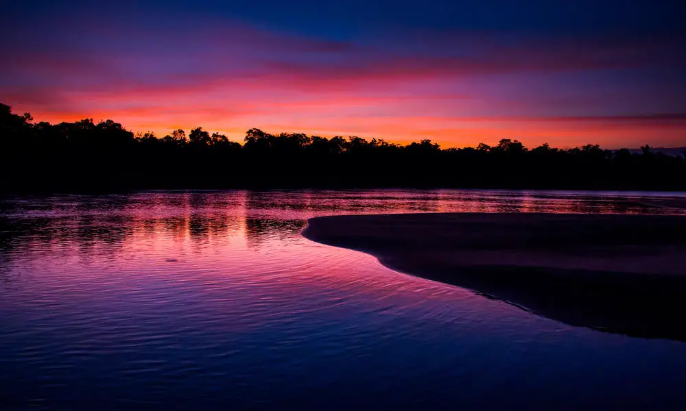
The Gateway to the Colombian Amazon: Putumayo
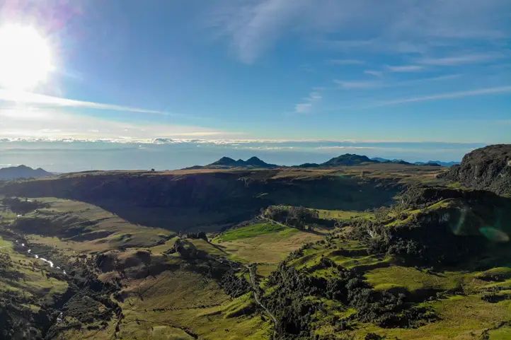
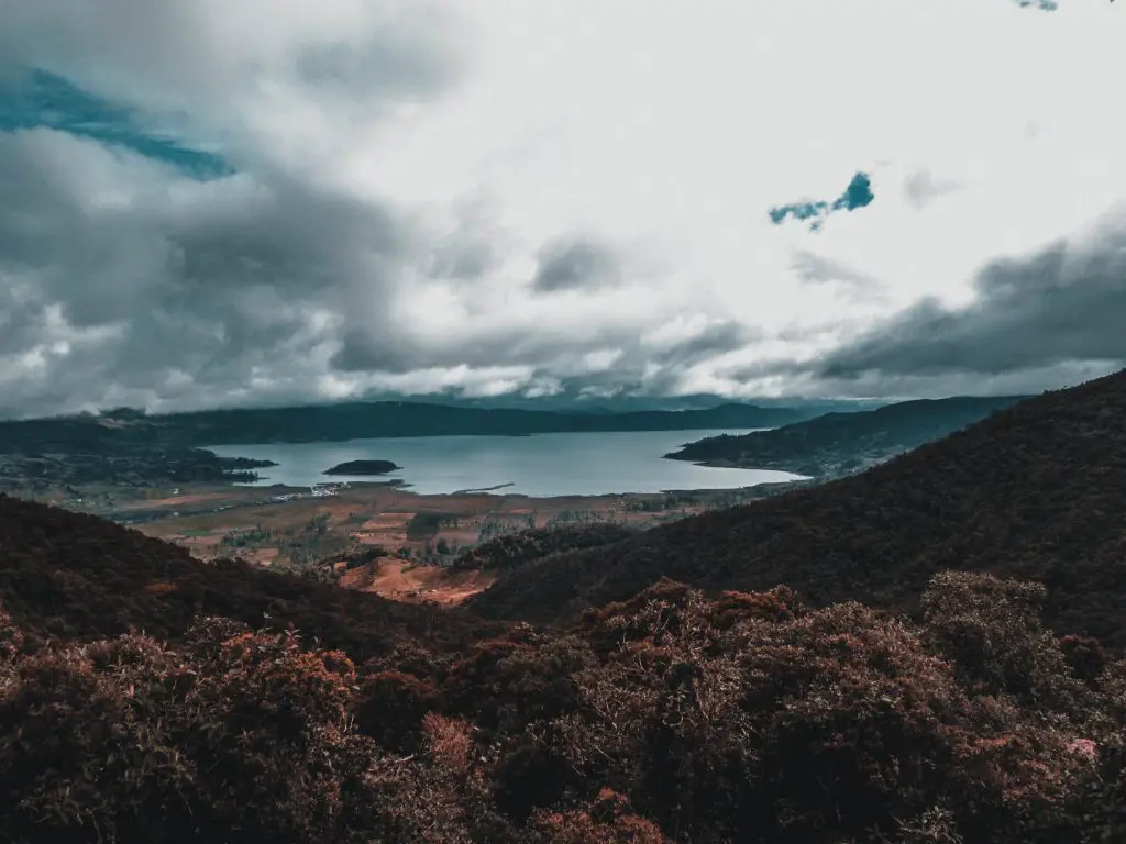
Putumayo is one of the most beautiful and promising post-conflict scenarios to enjoy nature tourism. has a perfect harmony between the rainforest and the Andes mountain range. In the south of the department is the city of Villagarzon where rivers begin to take the shape of a snake along with flat green landscapes; in the west of the capital, Mocoa, is the Sibundoy Valley.
Putumayo has an incredibly high biodiversity, it offers you the opportunity to meet species such as parrots, toucans, monkeys, tapirs, capivaras, tigers, panthers, spectacled bear and a great variety of birds. This is because its territory occupies a Andean – Amazon Piedmont, and numerous rivers.

Mocoa
Mocoa is Putumayo’s Capital City. It is a city that offers a combination of jungle walks, waterfalls, ecotourism, adventure sports, ancestral wellness, bird watching and Amazonian fauna.
What to visit staying in Mocoa?
Fin del Mundo Waterfall
It is one of the main tourist attractions in Mocoa. The waterfall is located in the Dantayaco stream and has a drop height of 70 meters forming two beautiful natural pools.
To get there you must hike up the mountain for 1.5 – hours, and when you are at this point apart from taking beautiful pictures you can do water activities such as canyoning.
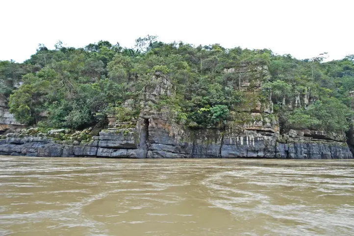
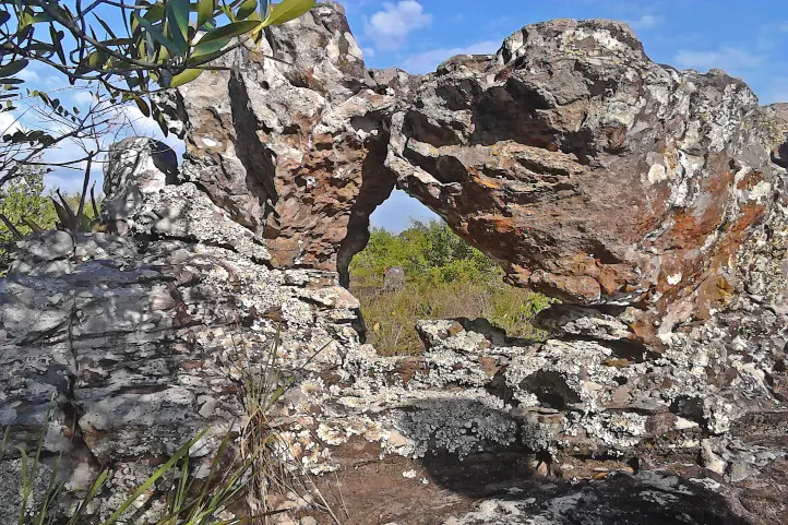
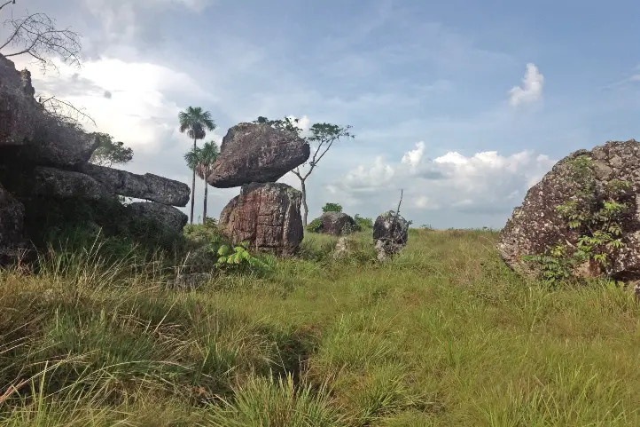
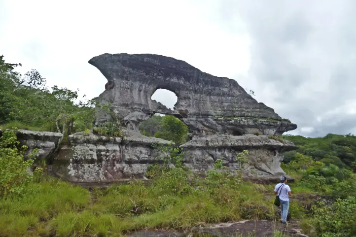
Mandiyaco Cañon
Located at km 25 of the road that leads from Mocoa to Pitalito very close to the Caqueta river. This natural wonder is a rock formation of volcanic origin, called “Mandiyaco” in the Inga language.
The rock formations that can be observed are possible to see different faces like the lion, the tiger’s claws, the nose of the bear, among other figures, in this wonderful place full of positive energy where you can take a boat ride.
Suruma Park
This reserve and preservation center of the Amazonian flora and fauna is located 8.3 km from Mocoa, has an area of 131.6 hectares of which 90% is forest.
There you will be able to take tours to learn more about the flora and fauna found in the Amazon as well as gain knowledge of the species that are endangered and those that are already in recovery.
Paway Butterfly Farm
If you want to learn about the evolutionary process of butterflies, this place is ideal for you. It is located 7.7 km from Mocoa; there you will be surrounded by nature and many species of butterflies.
In addition the butterfly farm offers you the opportunity to stay in a cabin built in a Ceiba “sacred tree”, you can spend a night surrounded by nature and wake up with the original sounds of the Amazon rainforest.
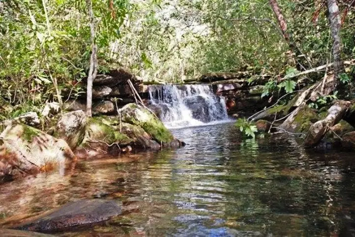
Hornoyaco Waterfall
To get to this beautiful waterfall of 55 m of fall you must make a 2 hour walk from the center of Mocoa. It is known because its inhabitants say that the guardian of this waterfall is the rainbow, since most of the time when the rainbow appears you can see how it surrounds the waterfall. It is a place of tranquility and peace where you can spend a wonderful afternoon.
Licamancha Caves
In Putumayo it is also possible to do caving activities, in the limits between the departments of Putumayo and Cauca on the banks of the Caqueta River is the access point to the caverns; it is advisable not to visit in rainy seasons due to the risks that can be run by the increase of the current of the river.
During the one hour tour it is possible to appreciate paleontological vestiges of more than millions of years old, besides walking through internal halls inside the cavern of 15 meters high.
At the moment it is an area that is in constant investigation for the discovery of more caverns or internal tours inside the already known ones.
El Salto del Indio
In the Kuriyaku ravine (in the indigenous language of the sector means “golden water”) just 19 km from Mocoa it is possible to find this natural wonder. It is formed by 2 waterfalls where a natural pool of emerald green water is generated.
Thanks to the fact that the inhabitants of the cabildo Tigre Playa offer the service of canoe to cross the river, the hiking time was reduced from 1 hour to 20 minutes, so now you will have more time to enjoy this natural wonder.
Donde se Oculta el Sol waterfalls (where the sun hides)
Located 22 km from Mocoa, when you arrive at the indicated point you will hike 2 km to reach the waterfalls that are formed in the Sardinas Creek; the waterfall “Mohano” (in indigenous language “Jaguar Man”) has 18 m of fall and the waterfall “Wakana” (in indigenous language “Llanto de la Mona”) has 17 m of fall.
Between the two waterfalls it is necessary to cross a stone bridge and a stone tunnel that connects the two waterfalls.
There you will be able to go bird watching, there is a camping area or if you prefer rural lodging.
How to arrive to Mocoa?
Take a 1,5-hours flight from El Dorado (BOG) in Bogotá to Villa Garzón Airport (VGZ) at Mocoa city.
Where to stay in Mocoa?
In Mocoa you will find a great diversity of accommodation options depending on your budget and personal taste. Our recommendations as follows:
- Posada Turistica Dantayaco

Orito
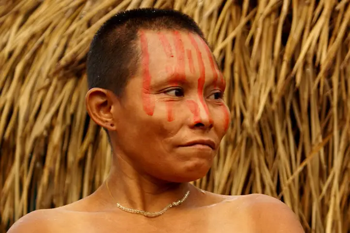
It is located in the Amazonian foothills, there you will be able to meet and have contact with the Kofan indigenous community, you can acquire knowledge of the ancestral wisdom of the hand of them, also you will be able to know the Pijili River, noted for its emerald green waters.
What to visit in Orito?
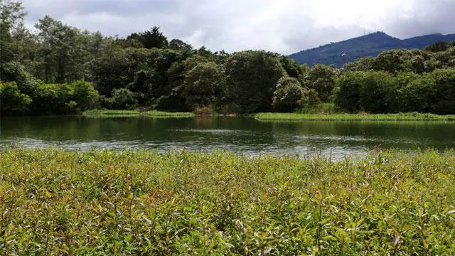
Isla Escondida Nature Reserve
There are about 25 kms of walking trails in and around the reserve. Apart from the trails there are many tracks for walking and exploring!
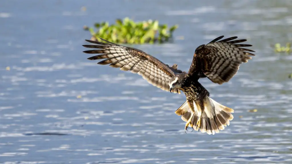
The reserve has more than 350 bird species, with many range-restricted species. Among the main targets are the Nocturnal Curassow (Nothocrax urumutum), Salvin’s Curassow, Chestnut-headed Crake, Grey-winged Trumpeter, Napo Screech-owl, Buff-tailed Sicklebill, Pavonine Quetzal, Collared Puffbird, Spot-winged and Scarlet-shouldered Parrotlet, Fulvous Antshrike, Hairy-crested Antbird, Spectacled Bristle-tyrant, Foothill Elaenia, Black-&-white and Golden-winged Tody-flycatcher, Grey-tailed Piha, Fiery-throated Fruiteater, Foothill Schiffornis, Musician Wren and Fulvous Shrike-Tanager.
There are registers of jaguar, margay, trumpeters, deer, opossums, nocturnal curassows, kinkajous (Potus flavus), olingos (Bassaricyon alleni), pacas (Cuniculus paca), night monkeys (Aotus), band-bellied Owls (Pulsatrix melanota), etc.
Maloka Oso Kofan
It is a meeting center of the Kofan indigenous community, the name of this Maloka is due to the fact that the Taita Oso Kofan is located there; also if you visit the department in January you can have the opportunity to participate in the annual camp where the indigenous community offers visitors the Amazonian ancestral knowledge along with the Yage ceremony supervised by members of the indigenous community.
Ma&Ju Ecotourism Center
In Ma&Ju you will learn about the agricultural processes of planting and harvesting of pepper and cocoa that takes place in the department. You can also do activities such as Canopy and walk on Tibetan bridges over the jungle.
If you wish to spend the night in this center there is a camping area or private cabins in the middle of the jungle.
Corunta Ecotourism Center
In the center you will be able to enjoy a private waterfall, La Silvania, you can also go horseback riding in the middle of the jungle, enjoy a natural pool and take tours in rural areas and have contact with the farmers of the sector.
Pijili Stone
It is a huge stone located in the flow of the Pijili River, is one of the most visited resorts for the majesty of the stone along with the tranquility and beautiful scenery offered by this river.
How to get to Orito?
Take a 1,5-hours flight from El Dorado (BOG) in Bogotá to Villa Garzón Airport (VGZ) at Mocoa city.
Once at in Mocoa you take an approximately 3-hours ride (118 Km) to Orito.
Puerto Asis
It is the municipality with the largest population of the department, besides being known as the commercial capital of Putumayo due to the development of commercial activities of great importance for the economic development of the department.
Moreover, Puerto Asis was the national center in the development of the Colombian-Peruvian war or known as “the conflict of Leticia” between 1932-1933.
What to visit in Puerto Isis?
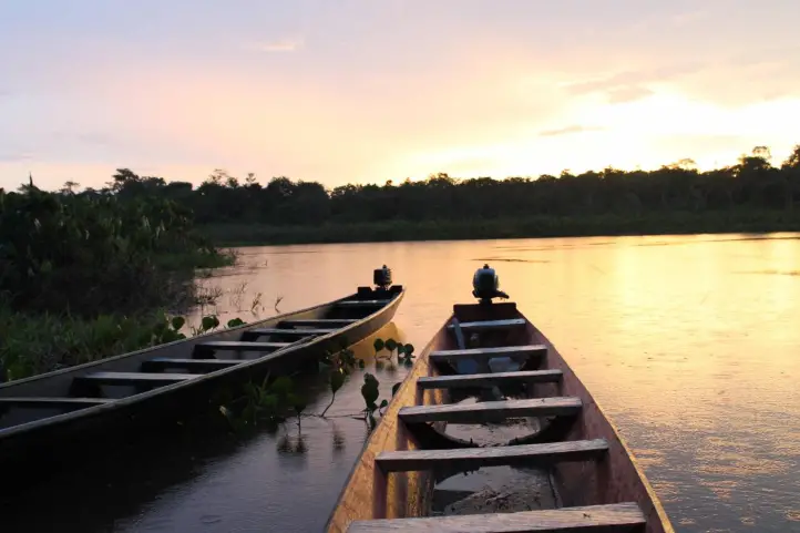
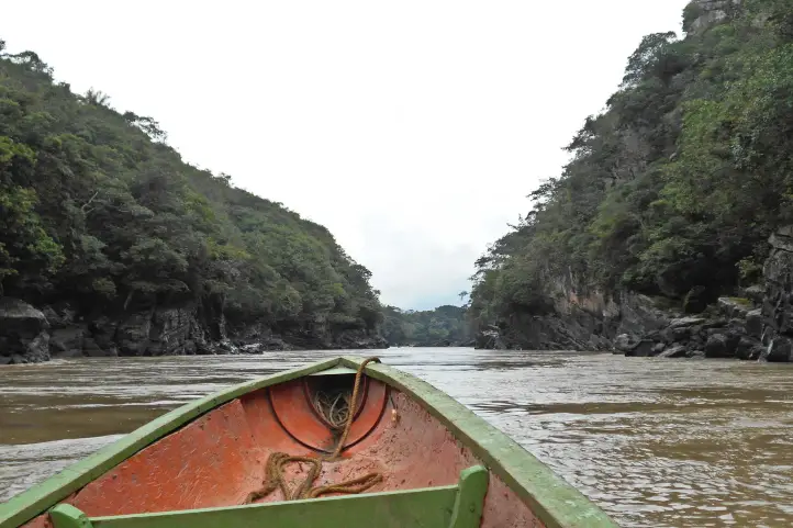
La Esmeralda Pier
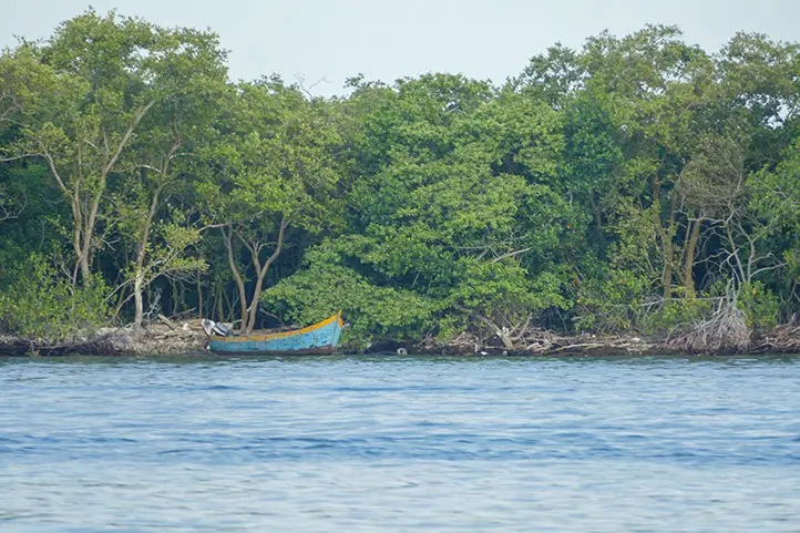
This important dock is the place where all the boats connect with Puerto Leguizamo, being one of the most important fluvial connection points of the department. You can also take a tour through the Putumayo River where you will be able to appreciate the immensity and enjoy the scenery during the tour.
Playa Rica Village
During your journey through the Putumayo River you can enter this magical trail where you can do bird watching, appreciate various species of the jungle in this part of the country and learn about Amazonian fruits.
How to get to Puerto Asis?
Bogota – Mocoa – Puerto Asis
Take a 1,5-hours flight from El Dorado (BOG) in Bogotá to Villa Garzón Airport (VGZ) at Mocoa city. Once at in Mocoa you take an approximately 2-hours ride (87 Km) to Puerto Asís.
Bogotá- Puerto Asís
Take a 1,5-hours flight from El Dorado (BOG) in Bogotá to Tres de Mayo Airport (PUU) at Puerto Asís city. Keep in mind that the airlines that fly to Puerto Asis are: EasyFly (Monday, Wednesday and Friday) and Satena (Sunday through Friday).
Puerto Leguizamo
It is called the exotic garden of the universe, as it is surrounded by the Amazon jungle, the Putumayo River and has borders with Ecuador and Peru. Formerly known as Caucayá, since it was the name it received when it was founded in 1920 and in 1950 it received its current name.
What to visit in Puerto Leguizamo?
El Guardian de la Selva (The Guardian of the Forest)
A magical ceiba tree 60 meters high and 40 centimeters in diameter. The inhabitants of the sector consider it to be the grandfather tree, being the sacred tree that is full of positive energy and is raising requests to heaven.
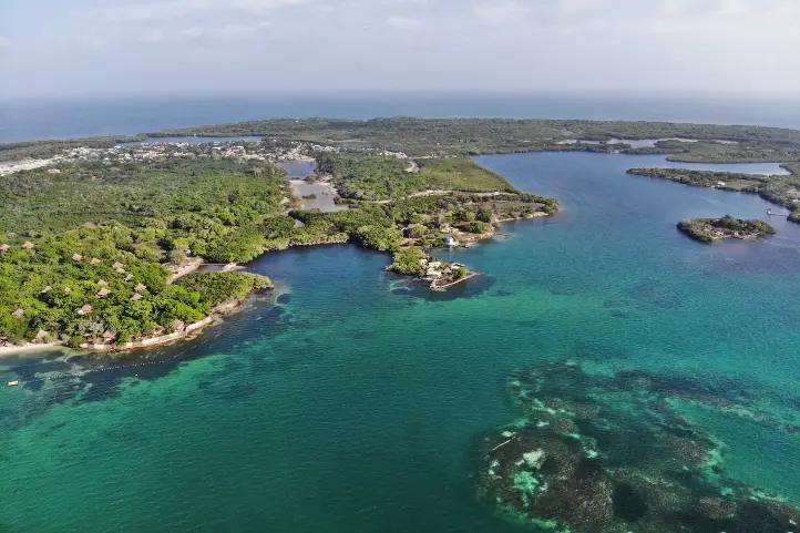
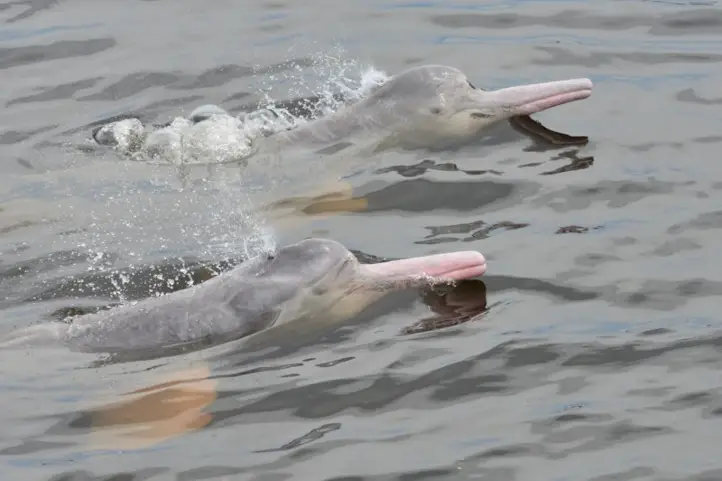
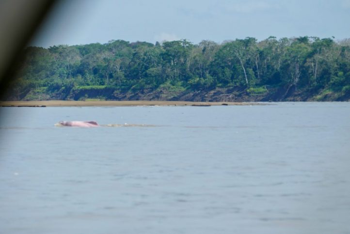
Caucayá River
It is located at the entrance to the Amazon, from here you will be able to observe the pink dolphin, river otters, different species of birds and Amazonian monkeys.
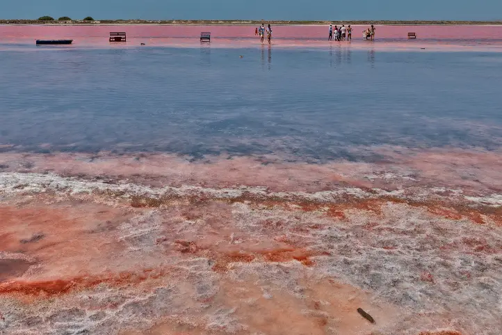
Laguna Azul
It is a body of water located in the deepest point of Puerto Leguizamo, it is said that its waters are healing, also rituals of cleansing and purification of the body and spirit are performed there.
La Argelia Fish Farming Station
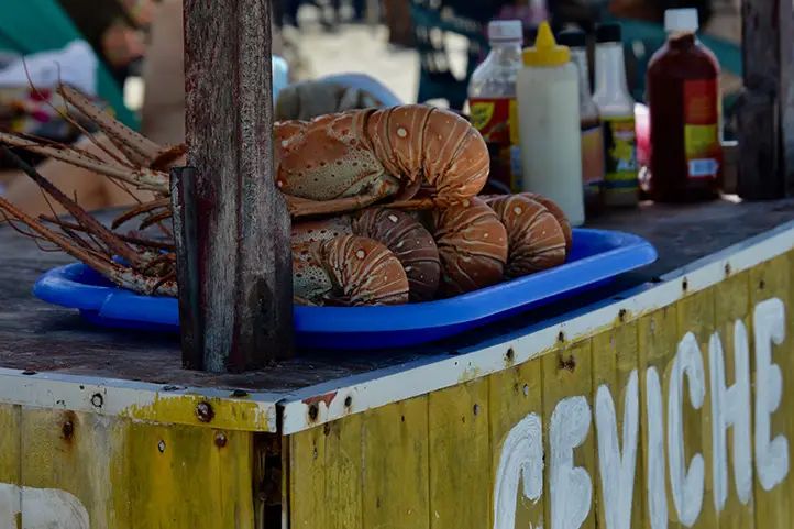
In this station you will meet and feed the Amazonian fish Pirarocu, one of the largest freshwater fish and can measure up to 3 meters, this experience is possible with the support of the inhabitants of the sector.
How to get to Puerto Leguizamo?
Take a 1,5-hours flight from El Dorado (BOG) in Bogotá to Caucayá Airport (LQM) at Puerto Leguizamo city.
Keep in mind that the only airline that operates to this airport is Satena on Tuesdays, Thursdays and Saturdays.
Villagarzon
It is part of the Amazonian Piedemonte region, surrounded by the rivers San Juan, Conejo, San Vicente and Guineo, is 15 minutes from Mocoa; it is also known as the heart of Putumayo for being one of the most diverse areas of the department.
What to visit in Villagarzon?
El Escondite Natural Reserve
It is a Private Natural Reserve, which has a protected area of approximately 124 hectares, of which 70% is in natural regeneration or in a state of conservation located in the village of La Joya. Here you can go bird watching, as it has a record of 299 species of birds, you can also observe frogs and insects and primates.
Kayaking on the Guineo River
You can do this activity surrounded by a landscape of Amazon jungle and pure waters that invite us to have fun and connect with mother earth.
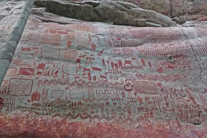
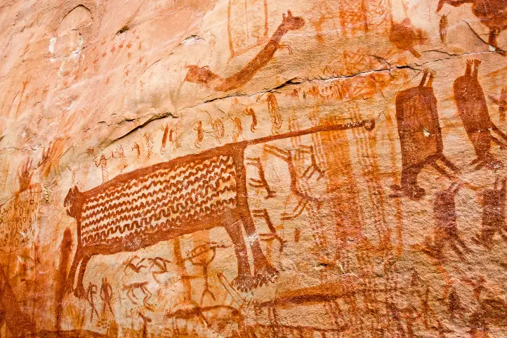
Rio Vides Archaeological Park
In the park you can observe stones with petroglyphs that show motifs of stars, plants and animals and other classified carved by indigenous ancestors.
How to get to Villagarzon?
Bogota – Mocoa – Villagarzon
Take a 1,5-hours flight from El Dorado (BOG) in Bogotá to Villa Garzón Airport (VGZ) at Mocoa city. Once at in Mocoa you take an approximately 30 – minutes ride (17 Km) to Villagarzón.
Where to stay in Villagarzon?
In Villagarzón you will find a great diversity of accommodation options depending on your budget and personal taste. Our recommendations as follows:
- El Escondite.
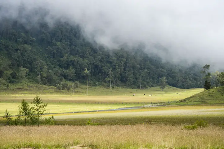
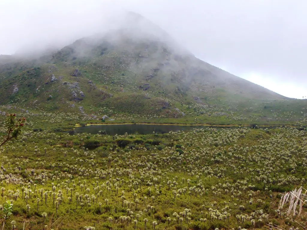
Sibundoy Valley
It is one of the cultural epicenters of Putumayo, with the presence of the indigenous cultures Kamentsá (men from here) and Ingas (close), unique in the world.
The inhabitants of the sector say that the missionaries arrived there during the colonial period, leaving numerous educational centers of great importance for the region.
What to visit in Sibundoy Valley?
The Interculturality Park
Known as the meeting point for the inhabitants of the municipality, it is adorned with eight sculptures made of wood by the indigenous communities, being an ideal place to spend the afternoon and visit the headquarters of the Municipal Administration.
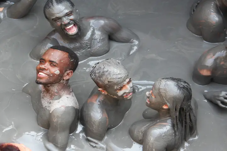
Ambiaku Tourist Center / Colón Hot Springs Center
Termas Colón is a place where you can visit during the day or at night; you can experience shock therapies between hot and cold water, you can also have an outdoor mud therapy.
Ayen Botanical Garden
The place is ideal to learn about medicinal plants; you can also participate in harmonization or cleansing activities through the taita Juan, you can also participate in a yage ceremony with a previous reservation.
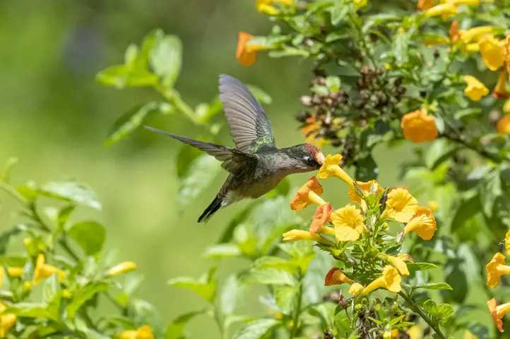
Villa Beatriz Viewpoint
From this wonderful viewpoint you will be able to watch birds and hummingbirds, besides having a panoramic view of the immense and magical valley of Sibundoy.
How to get to Sibundoy?
Bogota – Mocoa – Sibundoy
Take a 1,5-hours flight from El Dorado (BOG) in Bogotá to Villa Garzón Airport (VGZ) at Mocoa city.
Once at in Mocoa you take an approximately 3,5-hours ride (81 Km) to Sibunday.
If you want to know more about Colombia, or wants to book your trip, please contact us.
References
About the author
Luisa Martin
Engineer, world traveler, amateur photographer, traveling blogger, and foody.