Vaupes, a Must to Visit Birding Destination in the Colombian Amazon

Vaupés, with its capital Mitú, is the gateway to the Amazonian trapezoid in Colombia. Its rich biodiversity is evident everywhere, and it is a must to visit birdwatching destinations in Colombia.
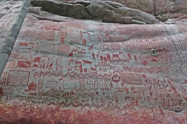
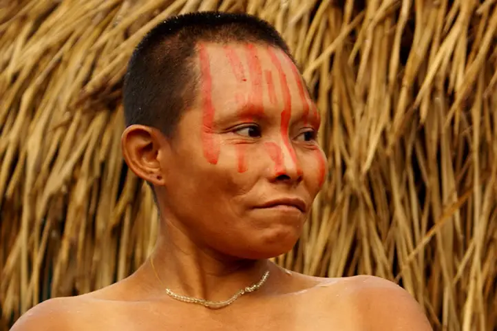
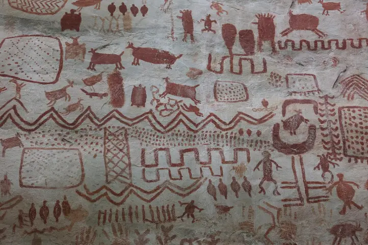
This wealth is not only biological, in Vaupés we have a wide diversity of indigenous cultures represented in 26 ethnic groups that share traditional knowledge about the management of the forest, and about their culture.

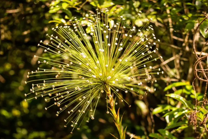
Vaupés has more than 570 bird species. Most of the species are widely distributed in the Amazon, but there are several subspecies associated with the Guyanese shield. The avifauna of this region is very special, which fully justifies its protection and study.
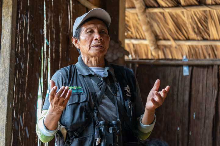
Birdwatching tourism has grown in the region as a good strategy for bird conservation and sustainability. Thanks to the organized work of indigenous communities in conjunction with SENA, the national learning institute, many locals found profit on this business.
In 2018, the local community, SENA, and the ACO organized the most important ornithological meeting in Colombia, the National Meeting of Ornithology (ENO), making its successful opening as a well-organized birdwatching destination.

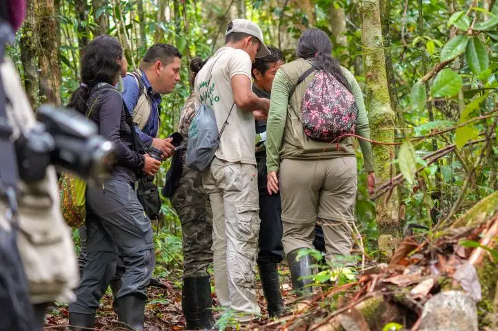
Today, Vaupes has a very good supply of local guides prepared to receive all visitors. They know the stories about the origin of the birds, their songs, their habitat, their signs, and the important role that their plumages play in the culture.
The great diversity of indigenous cultures, and their oral and sung tradition about birds make Mitú the ideal place to marvel at the great cultural and natural richness of our country. It is a unique destination in Colombia for Ethno-Ornithology. In addition, Vaupes is a territory of peace, recovering as a post-conflict destination.

Where is Vaupes?
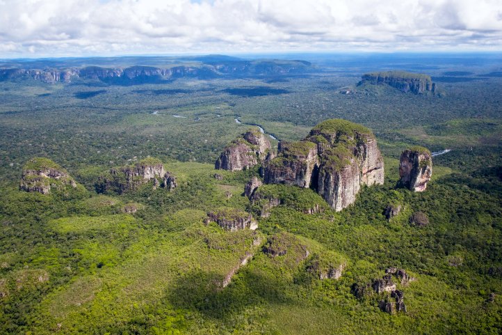
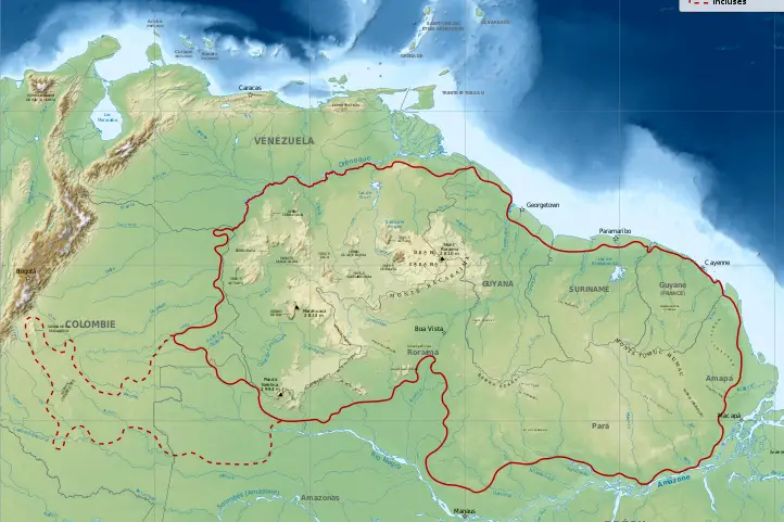
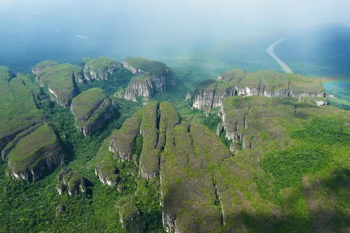
The department of Vaupés is located in the southeast of Colombia, in the region of the Amazon known as the Guiana Shield. This region covers an extensive area of northern South America.
Find out more about the Guiana Shield in our entry Why Chiribiquete is called the Sistine Chapel of Colombia?
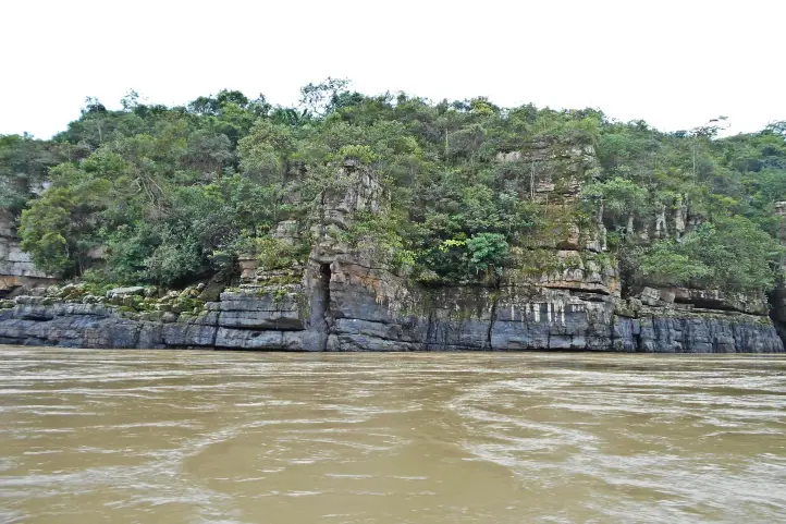
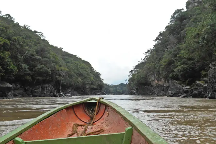
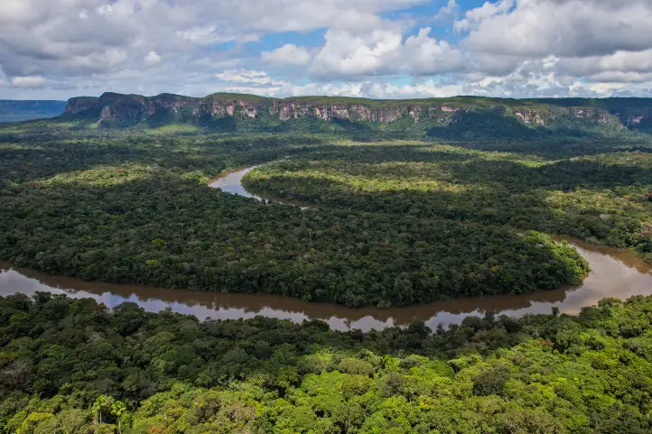
In Vaupes you will find one of the least populated, best conserved, and most heterogeneous regions in the world. There the Guiana and Amazonia ecosystems converge, and you will find in one place the famous tepuis of the Guiana shield, and the dry land forests, whitewater, and blackwater flooded forests, largest patches of white sand forests and savannas of the Amazon.
How to get to Vaupes
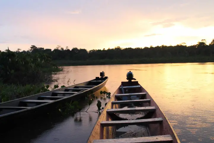
It can be reached by air, the commercial passenger company SATENA has direct flights of approximately 50 minutes.
Bear in mind that flights are limited, and they only depart on Tuesdays, Fridays, and Sundays from Bogota; and, Thursdays and Saturdays from Villavicencio.
There are also other companies that may eventually, make passenger charter flights.
Best time to visit
The best time to go for a birdwatching trip to Vaupes is after the rainy season, specially the months between November to April.
Birds of Vaupes
Given the great diversity of ecosystems in Vaupes, it is possible to find a great variety of birds. The checklist of the department of Vaupés includes 579 species distributed in 360 genera, 63 families, and 24 orders.
You can download a very complete checklist of the birds of Vaupes at the SINCHI institute website.
Highlighted birds
Discover near-endemic birds such as Chestnut-crested Antbird (Rhegmatorhina cristata) and Orinoco Piculet (Picumnus pumilus), and endangered birds such as Crestless curassow (Mitu tomentosum), and Grey-winged trumpeter (Psophia crepitans).
Among the birds found only in the department are Brown-banded Puffbird (Notharchus ordii), Tawny-tufted toucanet (Selenidera nattereri), Yellow-throated Antwren (Myrmotherula ambigua), among others.
Other interesting birds you can find are:
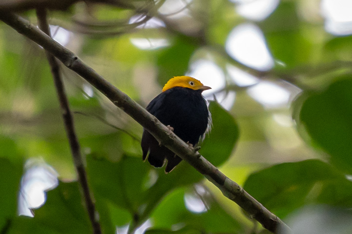
- Saffron-crested Tyrant-Manakin
- Screaming Piha
- Citron-bellied Attila
- Tawny-tufted Toucanet
- Brown-banded Puffbird
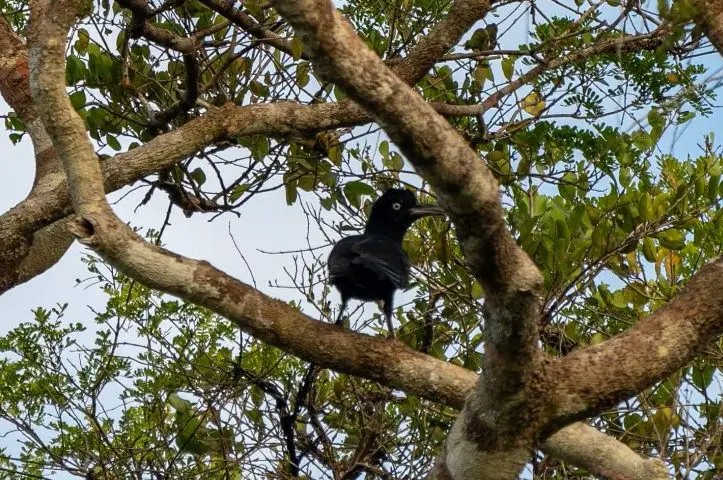
- Azure-naped Jay
- Pompadour Cotinga
- Fiery Topaz
- White-plumed Antbird
- Black Bushbird
- White-fronted Nunbird
- Spotted Puffbird
- White-plumed Antbird
Birding Routes in Vaupes
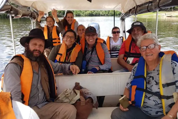
All birding routes are immersed in the indigenous communities surrounding the capital of Vaupés. You need permission to visit them, and also you must be accompanied by a local guide. But don’t worry, if you plan your trip ahead before your arrival everything will be ready.
Mituseño – Urania
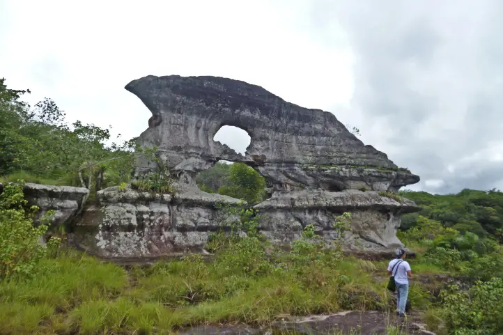
This indigenous settlement belongs mostly to the Kubeo (Pamiwa) ethnic group and is located on the banks of the Vaupés river to the northeast of Vaupés. There are rock formations and Varzeas that are flood plains of the Vaupés River.
Highlights
- Swallow-winged Puffbird
- Bronzy Jacamar
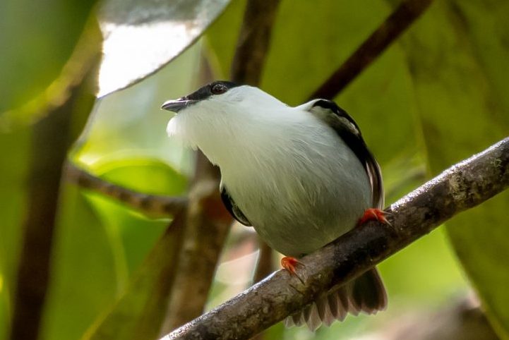
- Blue-crowned Manakin
- White-crowned Manakin
- Amazonian Umbrellabird
- Azure-naped Jay
Mitu Cachivera
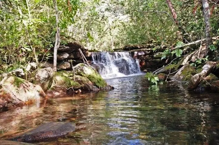
This community is located just five minutes from the town of Mitú, on the banks of the Vaupés River. This place offers about four trails that include white-sand forests, rivers with red water, and rocky outcrops.
Highlights
- Fiery Topaz
- Pavonine Quetzal
- Black-tailed Trogon
- Amazonian Trogon
- Blue-crowned Trogon
- Black-throated Trogon
- Brown-banded Puffbird
- Rusty-breasted Nunlet
Cerrito Verde
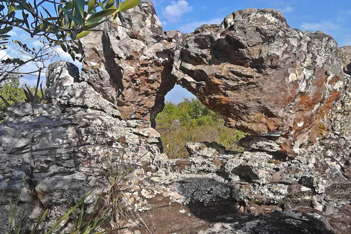
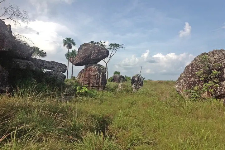
This birding spot is located 45 minutes from the urban center of Mitu, it has well-preserved mature terra-firme forests. It has a mosaic of landscapes ranging from primary forests to savannas and rocky outcrops within the Amazon jungle.
Highlights
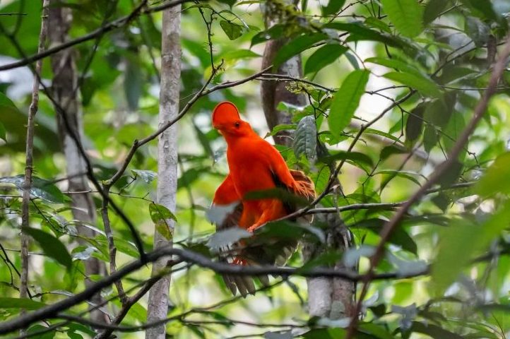
- Guianan Cock-of-the-rock
- Black-eared Fairy
- Pavonine Quetzal
- Amazonian Trogon
- Tawny-tufted Toucanet
- Maroon-tailed Parakeet
- Chestnut-crested Antbird

La Libertad
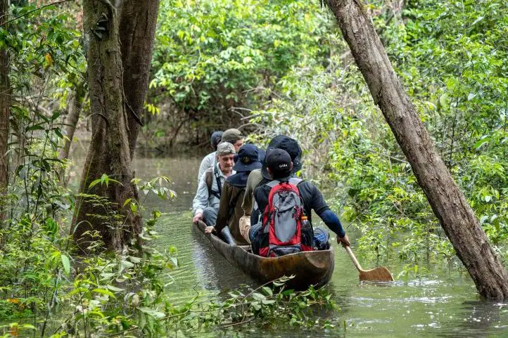
This indigenous settlement is located across the Vaupés River from the town of Mitú. You will find trails of white sands, flooded forests, and dry land. In one of the trails, you will have to take a canoe at some point to continue.
Highlights
- Fork-tailed Palm-Swift
- White-bearded Hermit
- Black-throated Hermit
- Swallow-winged Puffbird
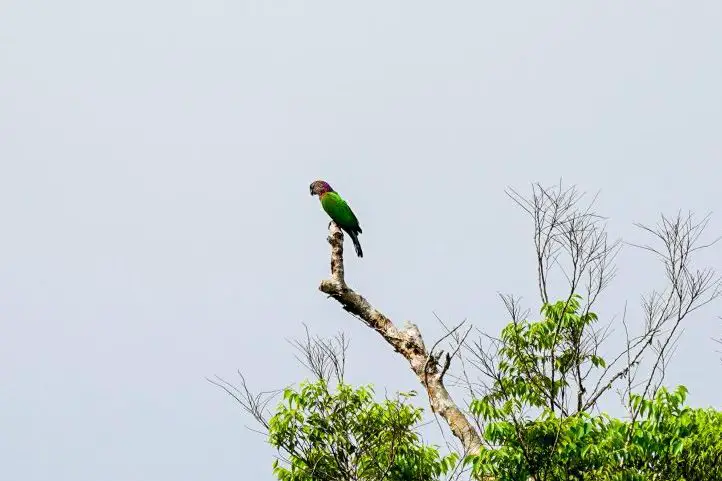
- Orange-cheeked Parrot
- Yellow-crowned Parrot
- White-crowned Manakin
- Green-tailed Goldenthroat
- Amazonian Umbrellabird

Santa Marta – Puerto Golondrina
It is located 12 kilometers downriver from the governor’s port on the Vaupés River and entering through the Cuduyarí River. This is the land of the community of Kubeos. Its main trail connects with the community of Puerto Golondrina. It has terra-firme forest and white sands.
Highlights
- Straight-billed Hermit
- Green-tailed Goldenthroat
- Ivory-billed Aracari
- Pompadour Cotinga
- Amazonian Tyrannulet
- Amazonian Grosbeak
- Coraya Wren

Pueblo Nuevo
Located on kilometer 20, this community has well-preserved mature terra firme forests and a mosaic of landscapes that range from mosaic of landscapes ranging from primary forests to savannas and rocky outcrops.

Highlights
- Gilded Barbet
- Tawny-tufted Toucanet
- Ringed Antpipit
- Scarlet-shouldered Parrotlet
- Chestnut-crested Antbird
- Amazonian Scrub-Flycatcher
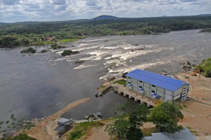
Santa Cruz
Located 32 kilometers from the urban center, the community is located past the Vaupés River and the trail is near the Vaupés Micro Hydroelectric Plant MCH. This site is of great cultural interest because it is the site of the great cachivera of Iparare, where most of the cultures of Vaupés were born.
It has well-preserved terra firme forests and rocky elevations where the flora and fauna of the place converge such as quetzals, trogons, and antbirds.
Highlights
- Opal-crowned Tanager
- White-fronted Nunbird
- Black Bushbird
- Musician Wren
- Dwarf Tyrant-Manakin
Recommendations for your visit
- Take yellow fever and tetanus vaccines before arrival.
- Do not forget the mosquito repellent, it is highly recommended.
- Rubber boots, raincoat, long-sleeved shirts, sunscreen.
- Leave no trace.
If you want to plan your trip to Colombia do not hesitate to contact us, visit our Plan your trip page!
References
- Colombia Travel
- Stiles, F. G. : La avifauna de la parte media del río Apaporis, departamentos de Vaupés y Amazonas, Colombia. Rev. Acad. Colomb. Cienc. 34 (132): 381-390, 2010. ISSN 0370-3908.
- SINCHI – Institute of Scientific Reseach of the Amazon.
- Etno-birding Vaupes.
About the author
Sara Colmenares
The current director of Sula. Doctor in Biological Sciences. Her main interests are to explore and understand the organism–environment interactions, taking advantage of emerging knowledge for the management and conservation of species and ecosystem services. She is currently working as a consultant in functional ecology, ecosystem services, and conservation projects in Colombia related to ecotourism and birdwatching.