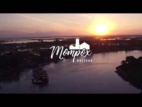
The Magical Realism of the Macondo Route in the Colombian Caribbean
Macondo does not appear on maps, and could be any town in the northern Caribbean of Colombia. Everything seems to indicate that Macondo is inspired by Arataca, a municipality in the department of Magdalena where Gabriel García Márquez was born. So, the Macondo Route is recently developed as a touristic project, since 2017.
What does it mean Macondo?
Macondo comes from makonde, which is the plural of likonde, a word used to refer to the prenominate fruit in the millenary Central African language, which literally means ‘devil’s food’.
The Macondo Route
The Government of the Department of Magdalena has designed the Macondo Route, which will take you to each of the places present in the book One Hundred Years of Solitude, by the Colombian novel winner Gabriel Garcia Marquez. This project integrates 8 municipalities that you will have the opportunity to discover.
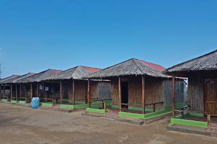
You can also enjoy an eco-village in Macondo and the Mauricio Babilonia’s butterfly farm. This tour promotes the growth and development of these towns, in addition to promoting the protection of the environment.

Cienaga
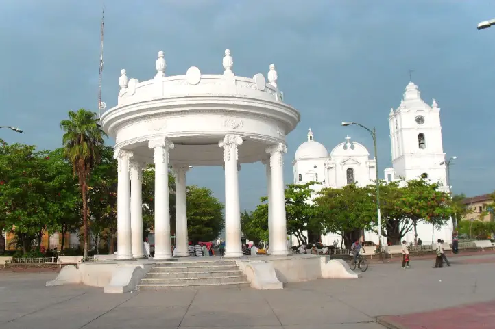
The town is located in front of the Caribbean Sea, near the Cienaga Grande. Ciénaga has historical, colonial, archaeological and natural sites to visit; the beaches on the shores of the Caribbean Sea offer a moment of peace and tranquility. It is part of Colombia’s network of heritage towns.
Ciénaga can be reached from Santa Marta or Barranquilla by car or bus. From Santa Marta it is 17 kilometers, while from Barranquilla it is 62 kilometers. To get to Ciénaga from Bogotá you must take a 1-hour flight from the city of Bogotá at El Dorado International Airport (BOG) to Simón Bolívar International Airport (SMR) in Santa Marta. From the airport you have to take a cab to Ciénaga, 33 km away (40 minutes).
It can be said that Ciénaga has the privilege of possessing an invaluable historical and cultural heritage. The Templete, the Chapel of the Santa Teresa School, the Old Railroad Station, the Church of San Juan Bautista, the Masonic Lodge, “La Casa del Diablo” transport us to past times and accompany us in the present with its colonial air.
Its colonial style houses show the former prosperity of the sector and is testimony of the economic boom that Cienaga had since 1900, through the export of bananas. It went from being an indigenous town in a state of colonial occupation to become the third most important city in the Colombian Caribbean.
García Márquez’s grandparents arrived in Ciénaga in the first decade of the 1900s. Although García Márquez only lived a short time in Ciénaga, the municipality is full of tributes to him.
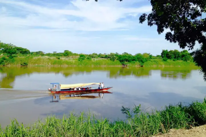
One of the most visited places by the local people is the Balneario de Costa Verde, a place with beautiful landscapes and natural pools, where the Cordoba River flows into the Cienaga Grande and its countless pipes.
You can not forget to take a tour of the historic center of the town along with its streets, which will transport you to another era full of history.
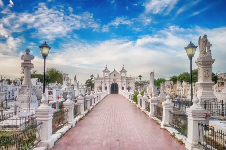
The Cemetery of the Rich
The tomb of Remedios, la bella, is located in the San Miguel de Ciénaga cemetery, better known as the cemetery of the rich. According to local guides, the name of the person who gave life to the character in the book is Rosario Barranco, who was the first Miss Magdalena, in 1934.
Many stories related to her unparalleled beauty were told about her, hence the nickname ‘Rosario, la bella’ (Rosario, the beautiful). Some say that García Márquez took the reference and adapted it to ‘Remedios, la bella’, because for him she was so beautiful that she was a remedy for ugliness.
Their deaths even resemble each other, unmarried, flying between white sheets. Rosario collapsed in front of the church of San Juan Bautista, of a fulminating heart attack, from her shawl Garcia Marquez created a sheet for Remedios, in which she flew to heaven.
Banana-growing Zone
It has a natural and historical wealth that marked the territory with the inclusion of the railroad train and the cultivation of bananas. It also has the privilege of having three basins that are maintained with water throughout the year.
Most of the banana towns were built on the sides of the railroad, so there is an element that connects the Colombian Nobel’s magical realism literature and the passage of the train loaded with bananas that transformed Macondo.
Nowadays, in terms of agriculture there is corn, rice, beans, fruit trees, horticulture and cassava, in addition, there is an important area planted with bananas and oil palm.
The Riofrío Commissariat
The Riofrío Commissariat is located in the Riofrío district, in the banana-growing zone. There, the day laborers of the United Fruit Company, the U.S. multinational that marketed fruits grown in Latin America, went on strike in order to improve their working conditions.
The company’s managers did not comply with their demands and twenty-four days later, on December 6, 1928, one of the most chilling events in Colombian history took place: The Banana Factory Massacre.
The nonconformity of the workers were narrated in One Hundred Years of Solitude explaining the state of mind of the workers, who needed a change. And although they only demanded that their rights be respected, no one supported them.
The most frequent activities take place in Rio Frio, Sevilla and Tucurinca, where you can enjoy a swim in crystal clear waters, you can also make kayak tours that end where the Sevilla and Rio Frio river basin joins.
To get to Zona Bananera you must take a 1 hour flight from the city of Bogota at El Dorado International Airport (BOG) to Simon Bolivar International Airport (SMR) in Santa Marta. From the airport take a cab to Zona Bananera, 59 km (1 hour).
Varela, municipality of the yellow butterflies
Near the commissary stop, and still next to the train tracks, is Varela.
“After the massacre of the banana plantations the quantities of bananas that remained on the plants uncut began to decompose. This caused the proliferation of many butterflies of different colors, being the yellow ones the predominant ones“, says a local guide.
It is in Valera, where a mechanic of the United Fruit Company lived and who in One Hundred Years of Solitude appears as Mauricio Babilonia, who is in love with Renata Remedios Buendia. The yellow butterflies preceded Mauricio Babilonia’s appearances, indicating to Remedios when she could meet her forbidden love.
City of the “gringos” and Casa Museo de Sevilla
After crossing the Aguja and Frío rivers, you arrive at the city of the “gringos”.
As “Gabo” once recounted, Prado Sevilla was a privileged place in the banana region. The high officials of the United Fruit Company, who were generally American, French and German citizens, enjoyed a swimming pool, bilingual school, golf course, the only movie theater in the region, heliport, electric light (which none of the other towns had), a military battalion that guarded its inhabitants all day long, a clinic and buildings completely different from the other workers’ camps.
There you will find the Casa Museo de Sevilla, which still preserves the original furniture that the United Fruit Company provided to its employees.
Macondo
There in Zona Bananera is a small village called Macondo. Its inhabitants tell that Garcia Marquez knew it, and that he simply didn’t give them the credit out of interest or embarrassment.
At the entrance of the village, which is located in the heart of the banana zone, there is a giant, colorful sign that reads: “I love the real Macondo. Land of inspiration that gave birth to the magical Macondian world. Fertile land blessed by God on the banks of the Sevilla River”.
In an interview with Gabriel García Márquez asking him where Macondo was, he answered that it existed in everyone’s mind. For this reason, the inhabitants of this village consider that he was not loyal to them. And, although Macondo generates a lot of money for the film, manufacturing and literary industries, the inhabitants of the real Macondo are impoverished.
Aracataca
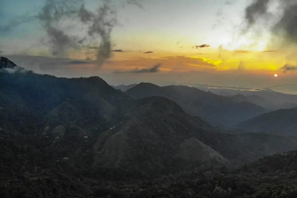
Aracataca is the birthplace of the writer Gabriel García Márquez. It is located in the north of the department of Magdalena, in the sub-region of the Sierra Nevada de Santa Marta, the temperatures range between 33°C and 36°C.
Many of the places in Aracataca pay homage to Gabriel García Márquez. The most recent is the Macondo Linear Park, which was founded in 2019. There you can see a colorful artistic path of 350 meters with more than 30 murals that capture some fragments of the author’s most representative works.
There is also the Gabriel García Márquez Public Library, the Remedios la Bella Municipal Library, the statue of Remedios la Bella, the Railway Station and the Telegraph House, where Eligio García, Gabo’s father, worked.
The first place we recommend you to visit is the Gabriel García Márquez House Museum, where the famous writer lived. Admission is free but they ask for a voluntary donation for its maintenance.
You can also go to the old Casa del Telegrafista (Telegraph House), where the Colombian writer’s father worked, the entrance is also free. Finally, you can take a tour through the streets of the town in the company of a guide, who will tell you the stories of Gabo when he lived in the town.
To get to Aracataca you have to take a 1-hour flight from Bogota city at El Dorado International Airport (BOG) to Simon Bolivar International Airport (SMR) in Santa Marta. From the airport you have to take a cab to A, 84 km (1.5 – hours).
Other places you can visit around the Mancondo Route
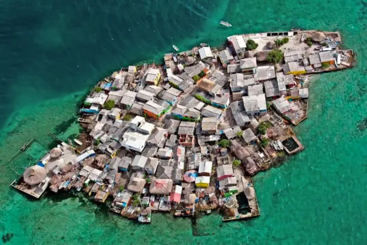
Sitionuevo and Puebloviejo
Sitionuevo is a municipality of the department located in the department of Magdalena, is on the right bank of the Magdalena River is one of the ideal places to enjoy nature in the Caribbean.
Puebloviejo It is located in the north of the department of Magdalena, linked by an isthmus to the city of San Juan (Ciénaga). It has an incalculable hydrographic wealth, as it is surrounded by the waters of the Caribbean Sea and the Ciénaga Grande de Santa Marta.
The villagers summarize the essence of the true fishermen of the country, so when visiting this town you can learn about traditional fishing techniques and hear many anecdotes of veteran fishermen.
To get to Sitionuevo you must take a 1-hour flight from the city of Bogota at El Dorado International Airport (BOG) to the Ernesto Cortissoz International Airport (BAQ) in Barranquilla. From the airport take a cab to Sitionuevo, 37 km away (1-hour).
To get to Pueblo Viejo you have to take a 1 hour flight from the city of Bogota at El Dorado International Airport (BOG) to Simon Bolivar International Airport (SMR) in Santa Marta. From the airport take a cab to Puebloviejo, 37 km away (1 hour).
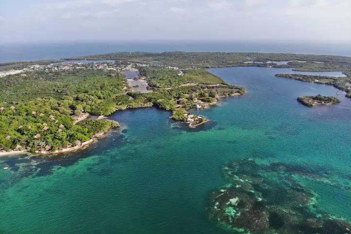
Via-Parque Isla de Salamanca
Near this town is the Via-Parque Isla de Salamanca. This park is located on the right side of the Troncal del Caribe highway, 110 km from Santa Marta and 10 km from Barranquilla after crossing the Pumarejo bridge. It is full of exuberant trails with unique fauna and flora of the Tropical Dry Forest.
Along the way you will find a considerable variety of freshwater vegetation, as well as mangroves and the aquatic community of floating species, water lettuce, freshwater grasses and swamp forest.
In terms of fauna, mammals are represented by the presence of 14 families and 33 species. The park has a record of 241 bird species, and since 1964 it has been declared a refuge for birds and amphibians.
El Retén
El Reten is located in the Sierra Nevada de Santa Marta subregion. This town has two large rivers, the Aracataca River to the north and the Fundación River to the south, both of which originate in the Sierra Nevada de Santa Marta and flow into the Ciénaga Grande.
During your visit to these lands you can dance and enjoy the cumbia and other rhythms enlivened by flutes, bagpipes, drums and others; you can wear the typical costumes and enjoy a rumbero atmosphere.
You will have the opportunity to visit the natural reserve El Chuval which, in turn, borders the Ciénaga Grande. In this wonderful place you can find a diversity of fauna and flora, you can go fishing, or just to see the view.
To get to El Retén you must take a 1 hour flight from the city of Bogotá at the El Dorado International Airport (BOG) to the Simón Bolívar International Airport (SMR) in Santa Marta. From the airport take a cab to El Retén, 97 km (2 hours).
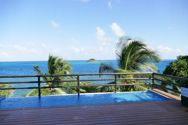
Santa Marta
Santa Marta, officially the Tourist, Cultural and Historic District of Santa Marta, is the capital of the department of Magdalena, Colombia. It was founded on July 29, 1525 by the Spaniard Rodrigo de Bastidas, which according to the texts, makes it the oldest standing city in Colombia. It is located on the shores of the bay of the same name.
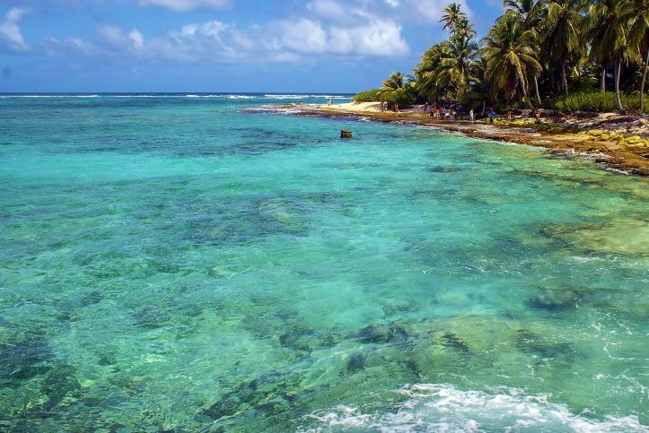
Santa Marta is known by the slogan The magic of having it all. In addition to several beaches and sites of historical value, it has the Sierra Nevada de Santa Marta, which has archaeological sites such as Ciudad Perdida.
Its most famous beaches are El Rodadero and Taganga, the latter being the entrance to the Tayrona National Park.
In the Plaza de Bolivar, next to the boardwalk, is the Casa de la Aduana, where the body of Simon Bolivar rested in a burning chamber. It currently houses the Tayrona Gold Museum of the Bank of the Republic.
The city also has several sites of cultural interest. Among them are the San Juan Nepomuceno Cloister, the Quinta de San Pedro Alejandrino, from 1830, and the Cathedral Basilica of Santa Marta, built in the 1760s. This temple houses a small urn containing the heart and entrails of Simón Bolívar.
Where to stay?
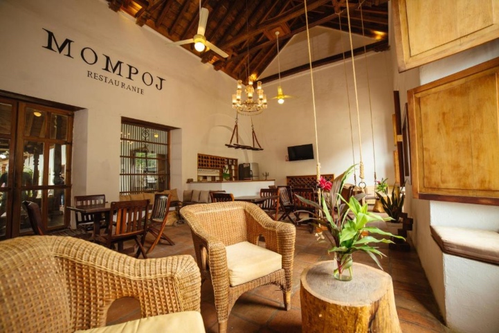
You can visit the Casa D’ Remedios La Bella hotel boutique in Ciénaga, where each room is named after the female characters of the work One Hundred Years of Solitude, or visit the Amaranta Restaurant, which includes other elements in honor of “Gabo”, such as a clock that gathers 12 of his books.
Want to plant your trip to Colombia? do no hesitate to contact us!
References
- The Promotion of Tourist Literary Routes in the Caribbean: The Case of Aracataca and the ‘Macondo Route’
- Metarevistas
- Colombia Travel
- De Ciénaga a Aracataca: la ruta mágica por el Macondo de Gabo
About the authors
Sara Colmenares
The current director of Sula. Doctor in Biological Sciences. Her main interests are to explore and understand the organism-environment interactions, taking advantage of emerging knowledge for the management and conservation of species and ecosystem services. She is currently working as a consultant in functional ecology, ecosystem services, and conservation projects in Colombia related to ecotourism and birdwatching.